Ralam Fm
Type Locality and Naming
Reference section: from Ralam Pass between Lissar and Gori valleys, Malla Johar area, Pithoragarh-Chamoli districts, Kumaun region. [Original Publication: Kumar, S., Singh, I.B., Singh, S.K. 1977. Lithostratigraphy, structure, depositional environment, palaeocurrent and trace fossils of the Tethyan sediments of Malla Johar area, Pithoragarh-Chamoli districts, Uttar Pradesh, India. Jour. Pal. Soc. India, 20, 396-435]
Synonyms: Heim and Ganser, 1939 “Ralam Series”; Kumar et al., 1977 “Ralam Formation”
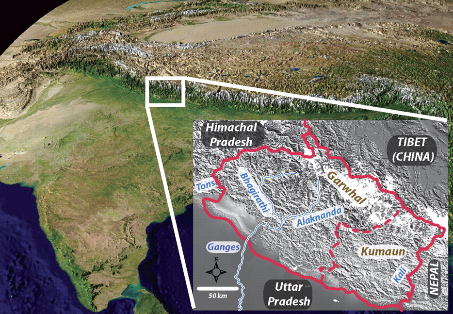
[Figure 1: Location of the Kumaun-Garhwal region (from Celerier et al., GSA Bull 2009)]
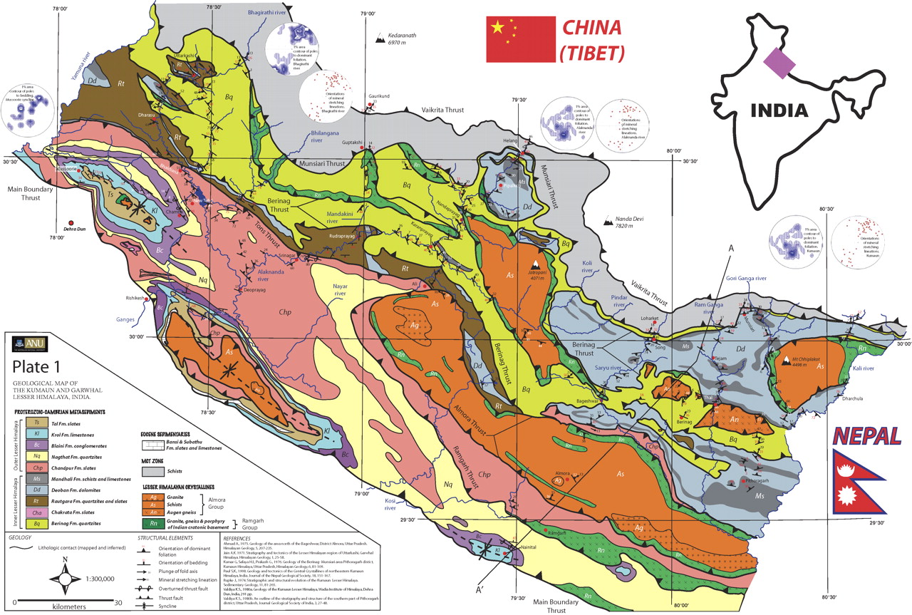
[Figure 2: Geologic map of the Kumaun-Garhwal region (from Celerier et al., GSA Bull 2009)]
Lithology and Thickness
Conglomerate and sandstone. Comprises basal conglomerate and upper quartzitic beds. 400-800 m thick. Thickness progressively decreases towards NW direction towards Kali valley in Kumaun region.
Relationships and Distribution
Lower contact
Unconformable with the underlying Milam Fm. Angular discordance.
Upper contact
Conformably overlain by the Garbyang Fm.
Regional extent
Kumaun to Garhwal regions
GeoJSON
Fossils
None
Age
Depositional setting
Fluvio-marine deltaic environment (Shankar et al., 1989, Mamgain and Misra, 1988; Jamwal et al., 1990 ; Kumar et al, 1977)
Additional Information

